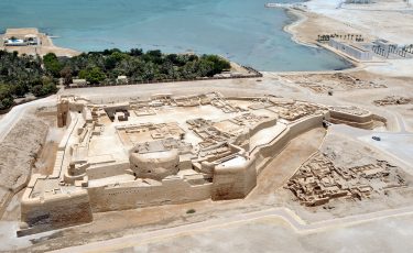
Description
Property Name: Qal’at al-Bahrain – Bahrain Fort
Inventory No: 973-1-1
Date of infill of the inventory form: 2008-01-16
Country (State party): Bahrain
Province: Dilmun
Town:
Geographic coordinates: 26° 14′ 4.08″ N
50° 31′ 14.75″ E
Historic Period: Unknown
Year of Construction: Unknown
Style: Unknown
Original Use: Religious, Public, Fortress
Current Use: Archeological park
Architect: Unknown
Significance
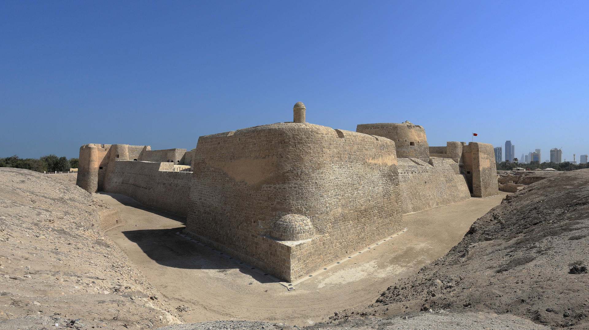
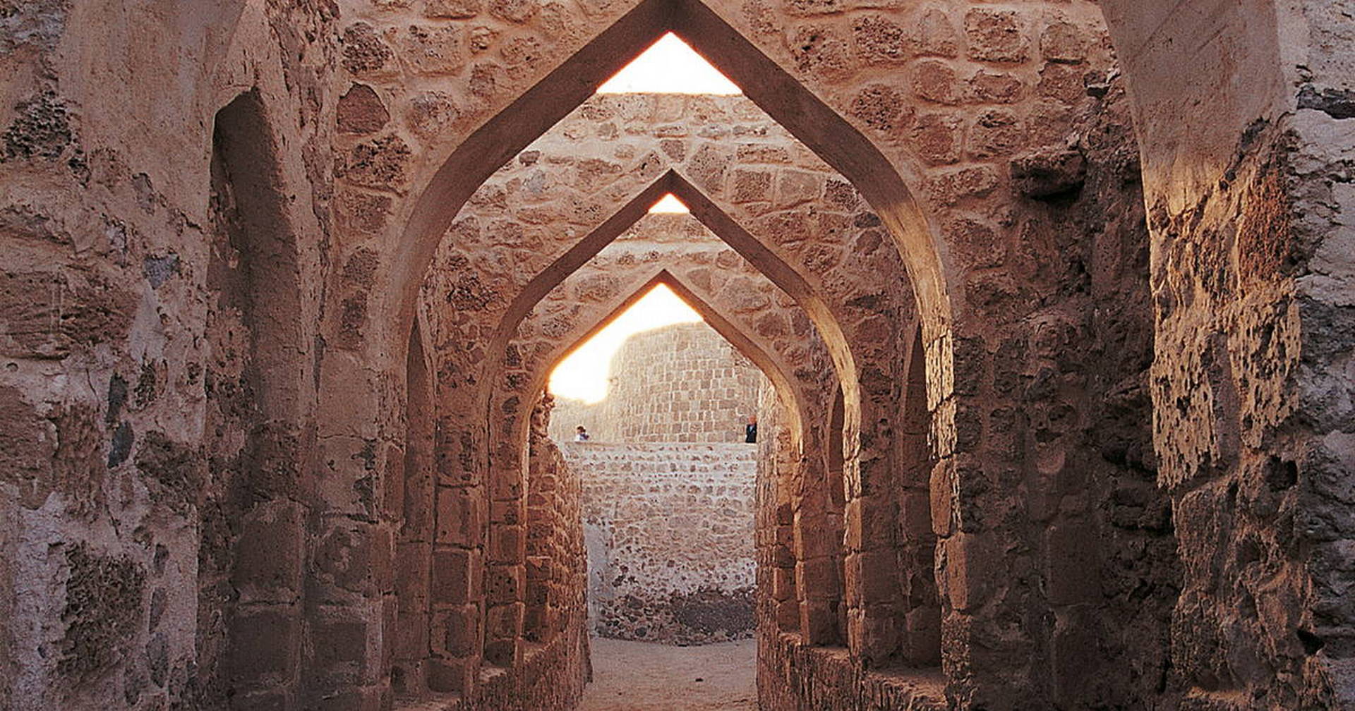
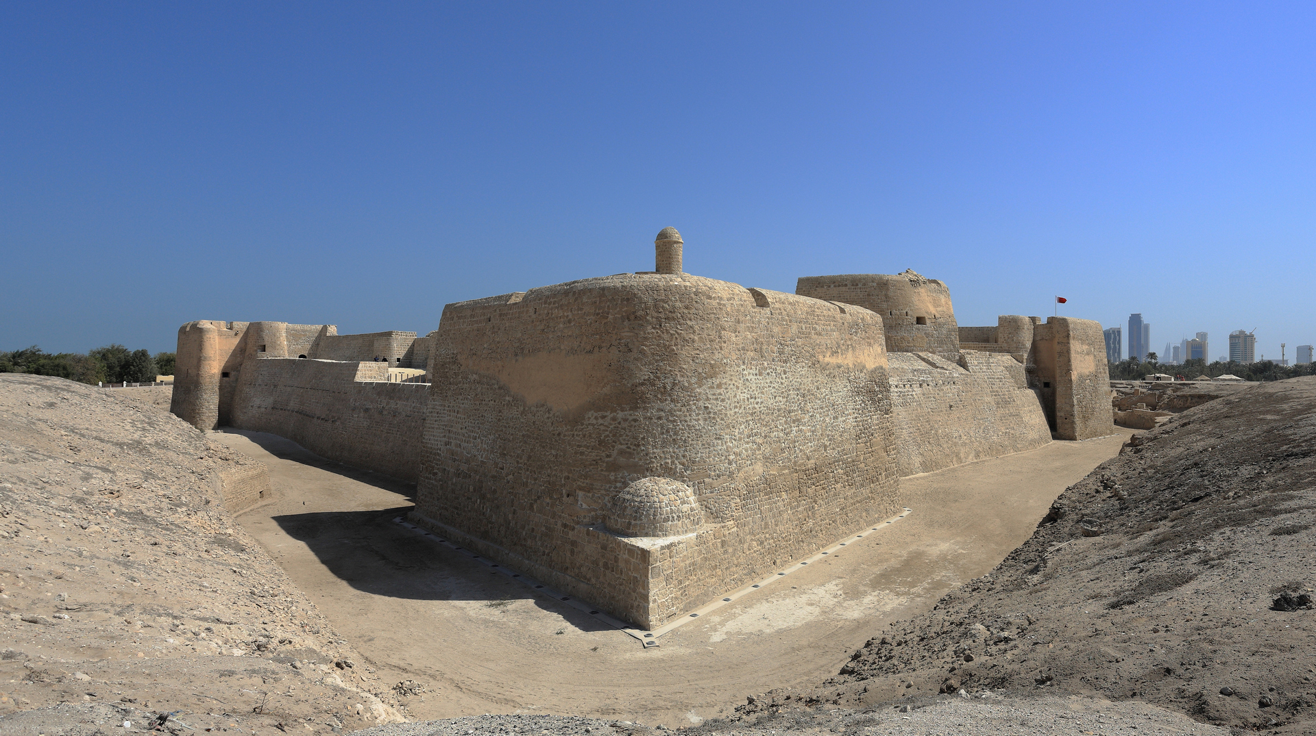
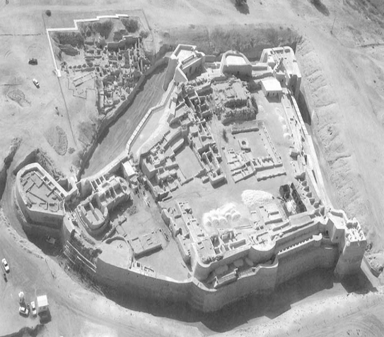
Qal’at al–Bahrain is a typical tell, an artificial mound created by many successive layers of human occupation. The strata of the 300×600-metre tell testify to continuous human presence from about 2300 B.C. to the 16th century A.D. About 25% of the site have been excavated revealing structures of different types: residential, public, commercial, religious and military. They testify to the importance of the site, a trading port, over the centuries. On the top of the 12m high mound there is the impressive Portuguese fort, which gave the whole site its name, qal’a, meaning fort. The site was the capital of the Dilmun, one of most important ancient civilizations of the region. It contains the richest remains inventoried of this civilization, which was hitherto only known from written Sumerian references.
Selection Criteria
iii. to bear a unique or at least exceptional testimony to a cultural tradition or to a civilization which is living or which has disappeared
iv. to be an outstanding example of a type of building, architectural or technological ensemble or landscape which illustrates (a) significant stage(s) in human history
v. to be an outstanding example of a traditional human settlement, land-use, or sea-use which is representative of a culture (or cultures), or human interaction with the environment especially when it has become vulnerable under the impact of irreversible change
State of Preservation
The deterioration of the fortress had accelerated dramatically in the second half of the 20th century due to the combined effects of wind and rain erosion, natural collapse and the constant wear on the ruins from visitors walking on them. The archaeological survey and soundings conducted at the Fortress by the French Archaeological Mission between 1982 and 1988 and afterwards by the Bahrain Directorate of Archaeology from 1996 until the present time, allowed the recognition of the outlines of the enclosure wall and the determining of the different phases of its construction, as well as the identification of the inner architectural structures, the precision of their shape, and finally the nature of the building materials and their general state of preservation. In 1987, considering the potential danger represented by the state of preservation of the fortress, and on the basis of the previous archaeological work, the Bahrain Ministry of Information took the decision to launch and finance an important program of massive clearing-out of the existing remains, followed by a progressive restoration of the defensive building. Nowadays, this work was taken under protection by UNESCO after the last restoration works.
References
UNESCO World Heritage Site: http://whc.unesco.org/en/list/1192/documents


